 Helicopter Flights
 Hot-air balloon
 Other Experiences
 To help you
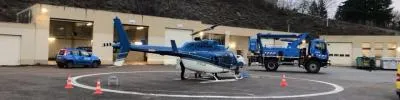
Helicopter Network Inspection: Preparing for the Mission
Professional Assignments
Helicopter Network Inspection: How to Prepare for the Mission?
Define the area, specify the required data, and anticipate any constraints: an aerial survey mission is planned in coordination with the network operator.
A helicopter-based power line inspection begins well before takeoff. To plan an appropriate mission, the grid operator and the aviation operator define the requirements, the area to be covered, and the expected results.
For more than 25 years, Air Touraine has been supporting infrastructure managers with aerial surveillance, inspection, and reconnaissance missions. These operations may involve electrical, gas, or rail networks, as well as reconnaissance following a weather-related event.
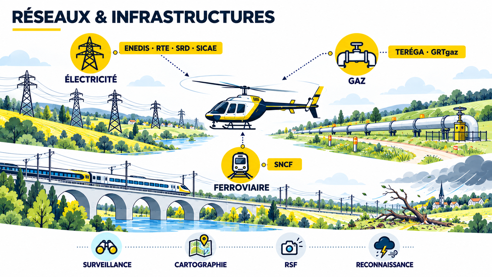
The initial information to gather
- The type of network and the mission's objective.
- The geographic area in question and the route to be monitored.
- Operational deadlines or priorities.
- The desired data and formats for the output.
1. Define the requirement with the network manager
Preparation begins with defining the scope of the request. Is the goal to monitor a power line, a gas pipeline right-of-way, or railroad tracks? The manager specifies the area, the route length, and the key points to consider. These elements make it possible to assess feasibility and determine the scope of the mission.
A clear request also helps identify useful data: visual observations, photographs, videos, geolocation, or technical surveys. The methods chosen depend on the specifications and the characteristics of the project.
2. Prepare for the flight and its challenges
Once the need has been identified, the operator assesses the mission’s constraints. The preparation process takes into account, in particular, weather conditions, aviation restrictions, restricted areas, the necessary authorizations, and the safety requirements specific to the operation.
The planned route and implementation details are coordinated with the network operator. Operational conditions may require adjustments to the mission’s organization or schedule.
3. Select the data and the visualization
Depending on the project, observations collected during flight may be supplemented by photography, video, geolocation, thermography, photogrammetry, or LiDAR. Specialized partners may contribute when the project requires it.
The report is tailored to the manager’s needs. It may take the form of a written report, geotagged photographs, a map, or files compatible with the manager’s GIS or CMMS tools.
From the feasibility study to the final report
Air Touraine coordinates mission preparation with the network operator and then adapts its resources to the operation’s constraints. This process includes defining the mission requirements, preparing for the flight, carrying out the flight, and delivering the results.
To discuss an aerial monitoring or inspection project, please provide the type of network, the area in question, the distance to be covered, and the data you require. The team will then be able to review your needs and the conditions for carrying out the project.
Let's talk about your assignment
Need an aerial network inspection?
Tell the Air Touraine team about your industry and your expectations.
Learn about monitoring and inspection activitiesThe resources, timeline, and deliverables are defined in accordance with the specifications and operational conditions of each assignment.
You may also be interested in

Helicopter baptism Angers - Le petit Anjou
Flight time: +/- 15 minutes
150,00 €
Introductory Hot-Air Balloon Flight
Flight duration: approximately 1 hour

Helicopter flight Tours - Chenonceau & its jewels
Flight time: +/-30 minutes
259,00 €