Home / LIDAR
Mapping, LIDAR, thermography
Mapping, LIDAR, thermography
Cutting-edge solutions for analyzing and managing your territories.
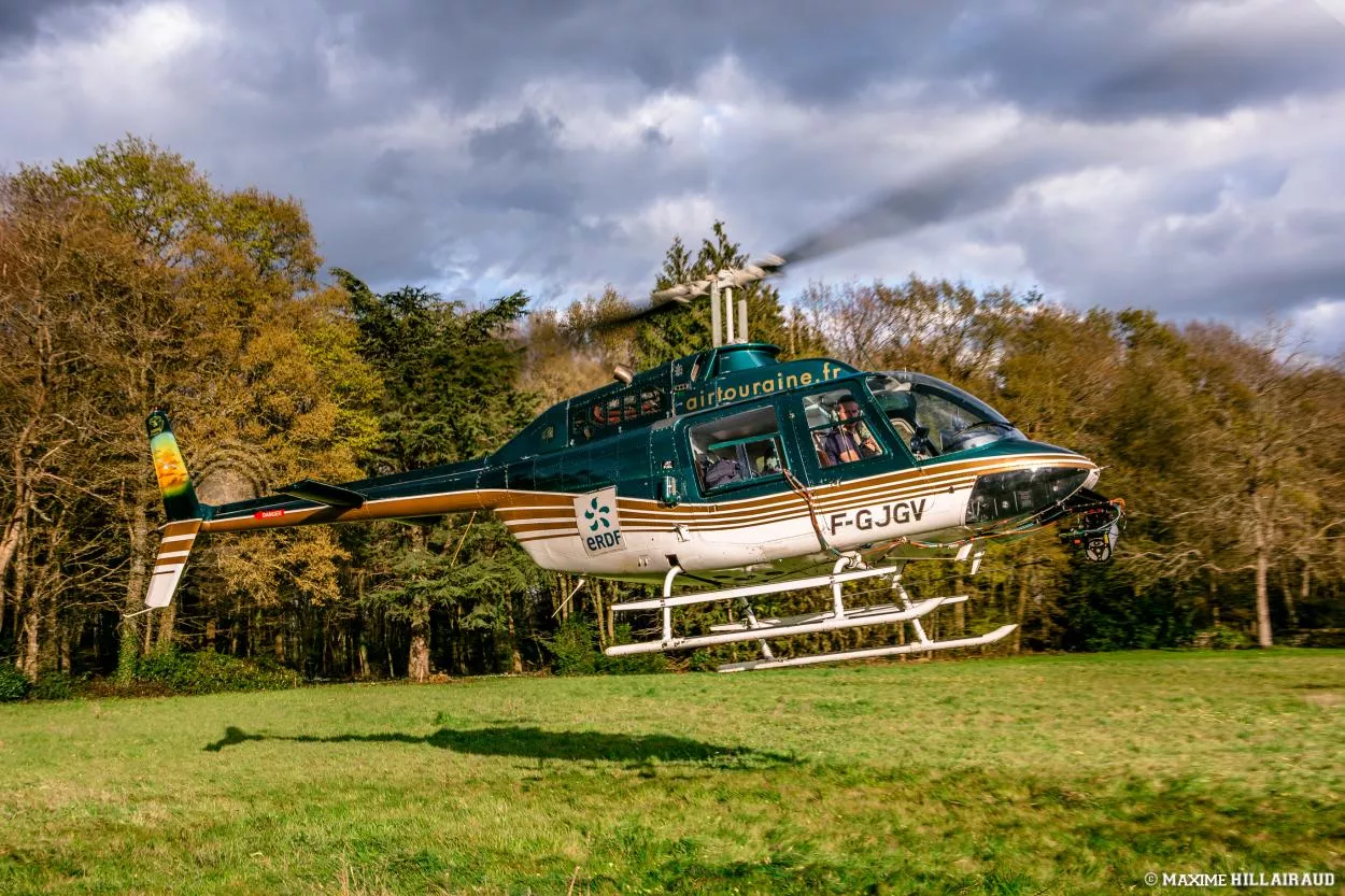
With our fleet of helicopters, 25 years' experience and 20,000 flight hours, we offer advanced aerial mapping, LIDAR and thermography services. These precision technologies enable us to collect detailed data on terrain, infrastructure and the environment, essential for optimal planning and effective management of your projects.
Our services include :
- Aerial mapping: We carry out precise topographic surveys to provide detailed, up-to-date maps of your land. This data is essential for urban planning projects, environmental studies and infrastructure.
- LIDAR (Light Detection and Ranging) technology: This technology enables extremely accurate 3D models of land surfaces to be created, even in densely vegetated areas. LIDAR is used for forest management, relief surveys and infrastructure inspection.
- Aerial thermography: We use infrared thermography to detect temperature variations invisible to the naked eye. This service is particularly useful for inspecting electrical networks, detecting thermal leaks in buildings, and identifying areas at risk of fire.
Our aerial mapping, LIDAR and thermography solutions give you precise, reliable tools for managing your projects, whether for planning, inspection or monitoring large areas. Contact us for more information.